The Port of Dieppe
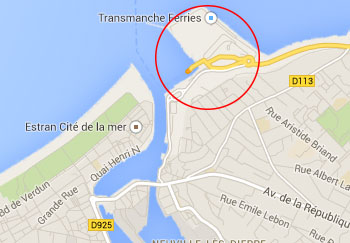
Dieppe is located on the Channel coast, north of Rouen at the mouth of the Arques river. Dieppe is situated on the "Alabaster Coast" in the Haute-Normandie region.
The port of Dieppe is directly linked with the English port of Newhaven in East Sussex. The twice-daily service to the Port of Newhaven is operated by DFDS Seaways and the average crossing time is 4 hours.
| Cross channel operators |
Departure |
Destination |
Weekly Crossings |
Duration |

DFDS Seaways |
Newhaven |
Dieppe |
14 |
4 hours |
| |
|
|
|
|
| GPS co ordinates |
Latitude |
Longitude |
| Dieppe Ferry Port |
49º56'1.1" N (49.93363 N) |
1º5'17.0" E (1.08805 E) |
| |
|
|
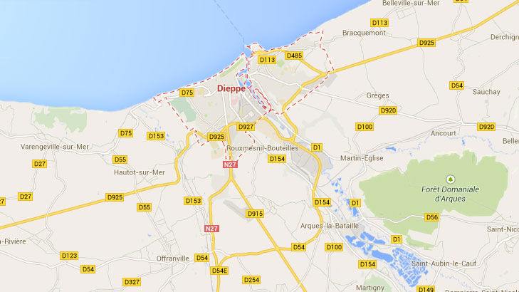
Dieppe Ferry Port by Car
Dieppe is approximately 120 miles North West of Paris and about 41 miles from Rouen. The principal motorway to Dieppe is the N27. When arriving on the outskirts of Dieppe, look for the signs for the ferry port which is well signposted in both French and English.
Updated:
7 October 2025
by Paul Quigley