The Port of Rotterdam
Rotterdam is the second largest city in the Netherlands and has by far the largest port in Europe. Called the "Gateway to Europe", Rotterdam has grown into a major international commercial centre. It is located south of Amsterdam on the banks of the river Nieuwe Maas.
There are 7 weekly crossings from Rotterdam to Hull operated by P&O Ferries with an average duration of 12 hours.
| Cross channel operators |
Departure |
Destination |
Weekly Crossings |
Duration |
 P&O Ferries P&O Ferries |
Hull |
Rotterdam |
7 |
12 hours |
| |
|
|
|
|
| GPS co ordinates |
Latitude |
Longitude |
| Rotterdam Ferry Port |
51º56'37.9" N (51.94387 N) |
4º7'56.2" E (4.13229 E) |
| |
|
|
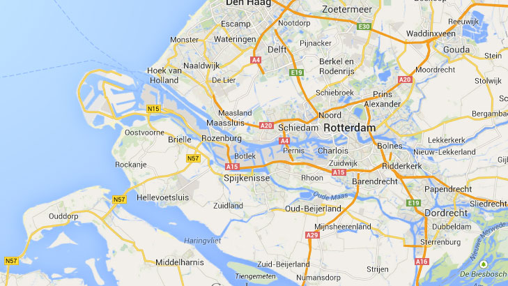
Rotterdam Ferry Port by Car
The terminal in Europoort is about one hour's drive and 37 km west from the centre of Rotterdam. The dock number of P&O Ferries is 5805On (Havennummer 5805On). Just follow the signs first for 'Europoort' and then for 'Engeland' and 'P&O Ferries'.
Updated:
20 April 2024
by Paul Quigley